Survey & Field Investigation
Total station and GPS/GNSS surveys, setting out, contouring and in-situ ground verification for planning and construction.
 Survey & Field Investigation
Precise Field Data for Better Decisions
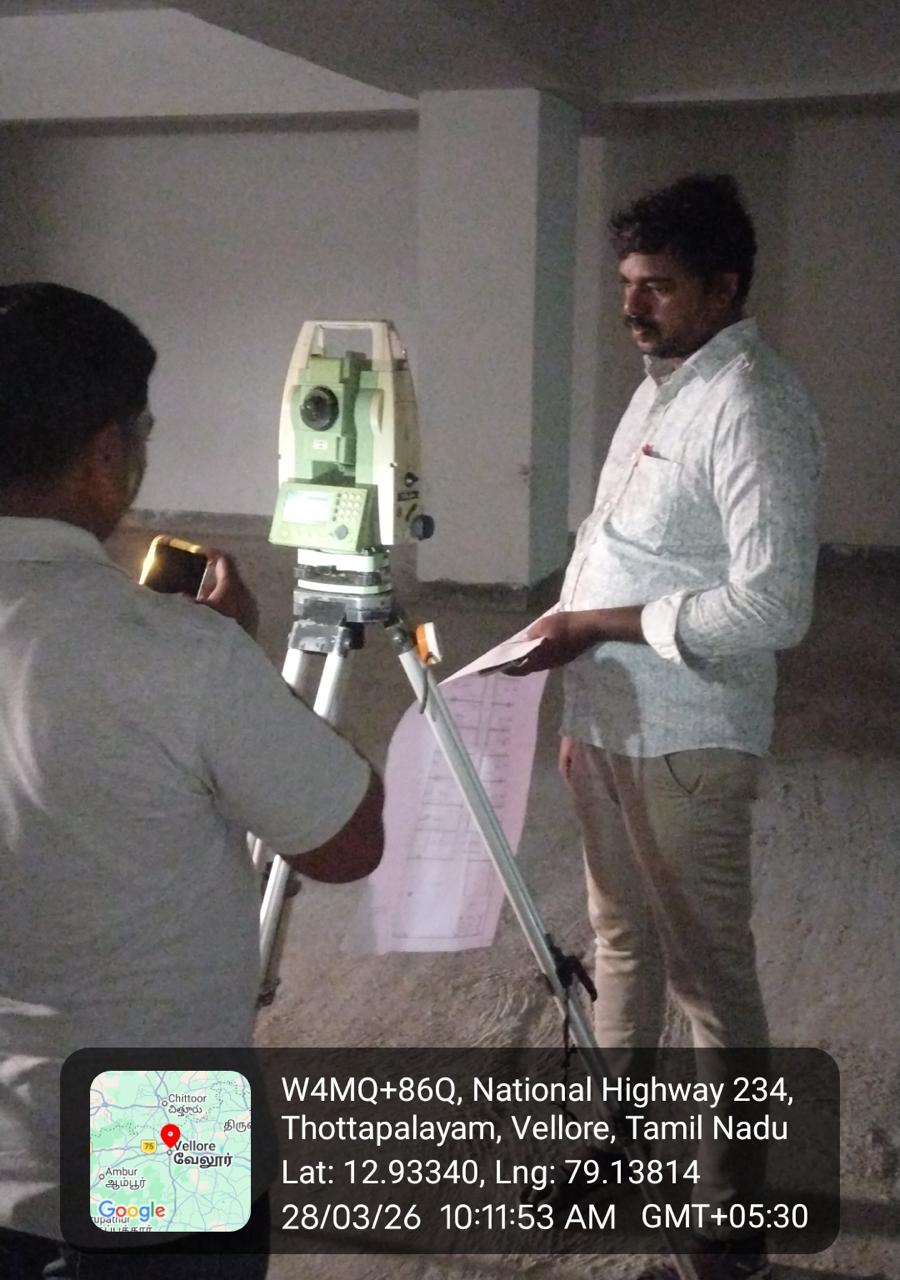
Accurate measurement is where every good project begins. RVCS survey and field investigation services deliver topographic data, control points, setting out and ground verification using total stations and GPS/GNSS instruments.
Combined with our field density and ground investigation capabilities, we provide a single team for site measurement, layout and in-situ verification — reducing coordination effort for contractors and consultants.
Scope of Services
- Total station topographic and contour surveys
- GPS / GNSS control and georeferencing
- Setting out, grid marking and level transfer
- Boundary and route surveys
- Road and pipeline alignment surveys
- Field density and in-situ ground checks
- Quantity and earthwork measurement support
Testing & Investigation Methods
- Total station traversing and detail survey
- RTK-GNSS positioning
- Differential and fly leveling
- Auto-plotted contours and digital terrain models
- Sand replacement and core cutter field density tests
Why Choose RVCS
RVCS survey parties combine instrument accuracy with systematic field documentation. Deliverables include coordinate files, plotted drawings and stake-out data that site teams can use directly.
Key Applications
- Site planning and master layout
- Building setting out
- Road and pipeline alignments
- Plot and boundary demarcation
- Earthwork quantity surveys
- Solar and industrial site development
Technical Highlights
Related Services
Other RVCS services that complement this one.